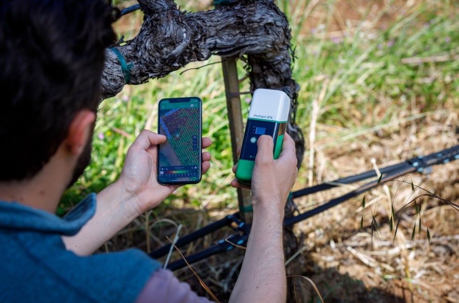
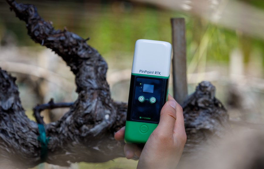
VineView, a leading data analytics company offering data-driven solutions to assist viticulturists and vineyard managers in optimising operations, announced the launch of its affordable PinPoint RTK Handheld GPS Receiver.
Aimed at vineyard operators, the PinPoint RTK is specifically designed for precise field data collection, offering superior accuracy through Real-Time Kinematic (RTK) technology. With an accuracy of 2-5cm (2 inches), it outperforms traditional GPS receivers, which typically have an accuracy of 2-4m (7-13ft). With its rugged design and programmable buttons, it is the ultimate companion for any type of field work where spatial data is collected. Combined with the VineView mobile app, it allows tracking information at the individual plant level.
The result is highly accurate field data collection, allowing vineyard operators to build precise maps for the most informed decision-making and planning. This includes tracking production, disease mapping, yield estimation and asset tracking. Vineyard managers can utilize these maps as tools for various use cases, such as planning how many rootstocks to purchase for the following season, tracking disease over time to determine when to pull a field, sending employees to exact locations for replants, and more.
VineView’s PinPoint RTK has been designed to be ultra portable, durable and is water resistant, ensuring reliability in demanding weather conditions. Designed with three programmable buttons, users are able to specify what data they want to collect at the touch of a button. The PinPoint RTK connects seamlessly with the VineView app (available on both Android and iOS), allowing you to take and track notes with remarkable accuracy (up to 2 cm). No signal, no problem – the PinPoint RTK works when there is no data connection to ensure that no matter where you are, you can still operate.
Richard van der Put, CEO, VineView, said: “VineView’s PinPoint RTK is a great addition to our mobile data platform and makes it extremely easy for vineyard managers to affordably track field observations digitally. Imagine replacing written notes with geo-located tags at the individual vine level.”


